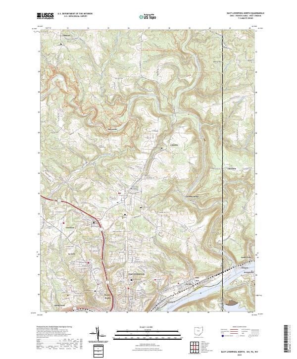
2023 Map of East Liverpool North
USGS Topo · Published 2023About this map
The Ohio River forms a major geographic and political boundary at the southern edge of this region, where Ohio, Pennsylvania, and West Virginia converge. This river corridor is a primary artery for the area's development, supporting settlements like East Liverpool and Glasgow. Inland, the landscape is defined by the winding course of Little Beaver Creek and its many tributaries, including Longs Run and Rough Run. These waterways carved the terrain into prominent features such as Beatty Hill and the distinctive Babbs Island in the river channel.
Find a feature on this map
177 named features on this map. Tap any name to fly to it.
Don’t see what you’re looking for? This feature index may not catch every label — zoom into the map to look around manually.
Map Details
Editions of this 2023 East Liverpool North Map
This is the sole edition of this map. No revisions or reprints were ever made.
Other maps of this area

1901 · Beaver
USGS Topo · 1:62,500

1902 · New Castle
USGS Topo · 1:62,500

1904 · Newcastle
USGS Topo · 1:62,500

1904 · Wellsville
USGS Topo · 1:62,500

1904 · Beaver
USGS Topo · 1:62,500

1907 · Columbiana
USGS Topo · 1:62,500

1909 · Columbiana
USGS Topo · 1:62,500

1937 · Wellsville
USGS Topo · 1:62,500

1944 · Wellsville
USGS Topo · 1:62,500

1951 · Canton
USGS Topo · 1:250,000