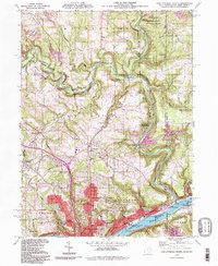
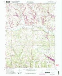
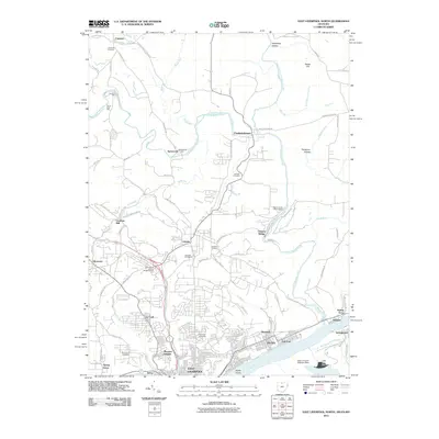
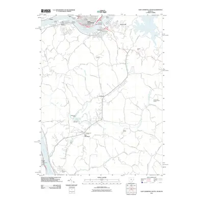
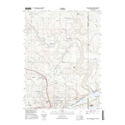
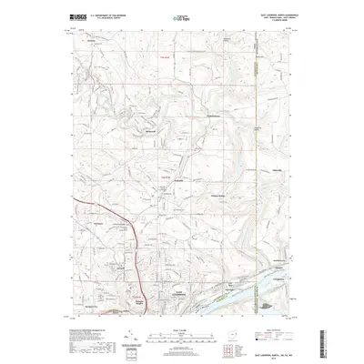
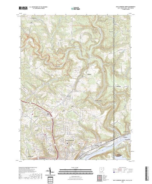
1994 Map of East Liverpool North
USGS Topo · Published 1998About this map
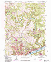
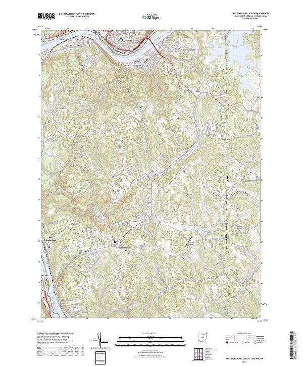
East Liverpool anchors the southern edge of this landscape, positioned along the north bank of the Ohio River near the tri-state junction where Ohio, Pennsylvania, and West Virginia meet. The area is characterized by the winding path of Little Beaver Creek, which carves through the terrain to connect the northern settlements of Clarkson and Fredericktown with the river valley. The map reveals a transition from the industrial and urban density of East End and La Croft to the expansive protected lands of Beaver Creek State Park. Evidence of the region's extractive economy is visible in strip mines and a gravel pit north of the river. Genealogists will find significant local landmarks including Riverview Cemetery, Clarkson Cem, and the Columbiana County Memorial Park, alongside numerous rural schools like Taft Sch and Lincoln Sch.
Find a feature on this map
62 named features on this map. Tap any name to fly to it.
Don’t see what you’re looking for? This feature index may not catch every label — zoom into the map to look around manually.
Map Details
Editions of this 1994 East Liverpool North Map
This is the sole edition of this map. No revisions or reprints were ever made.
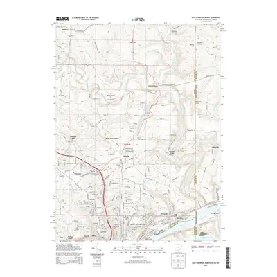
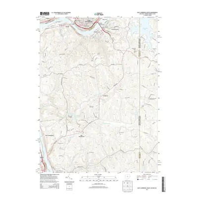
Historical Maps of East Liverpool Through Time
33 maps found
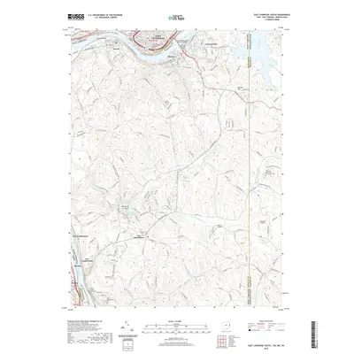
1960 East Liverpool North
Columbiana County, OH
1960 East Liverpool South
Columbiana County, OH
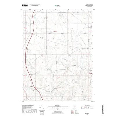
1960 Elkton
Columbiana County, OH
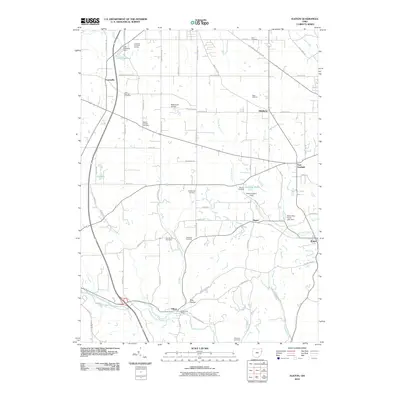
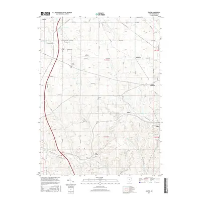
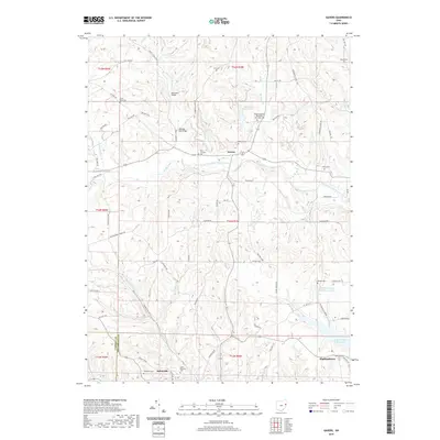
1960 Gavers
Columbiana County, OH
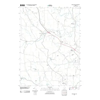
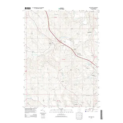
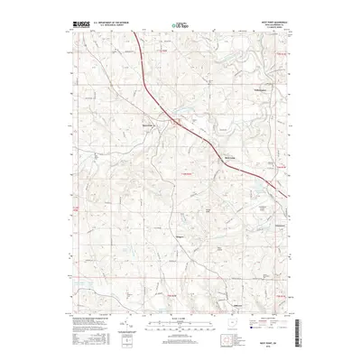
1960 West Point
Columbiana County, OH
1994 East Liverpool North
Columbiana County, OH
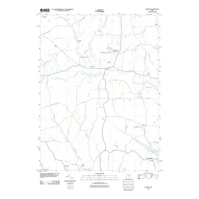
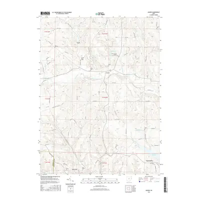
1994 Elkton
Columbiana County, OH
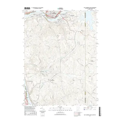
1996 East Liverpool South
Columbiana County, OH
2010 Elkton
Columbiana County, OH
2010 Gavers
Columbiana County, OH
2010 West Point
Columbiana County, OH
2011 East Liverpool North
Columbiana County, OH
2011 East Liverpool South
Columbiana County, OH
2013 East Liverpool North
Columbiana County, OH
2013 East Liverpool South
Columbiana County, OH
2013 Elkton
Columbiana County, OH
2013 Gavers
Columbiana County, OH
2013 West Point
Columbiana County, OH
2016 East Liverpool North
Columbiana County, OH
2016 East Liverpool South
Columbiana County, OH
2016 Elkton
Columbiana County, OH
2016 Gavers
Columbiana County, OH
2016 West Point
Columbiana County, OH
2019 East Liverpool North
Columbiana County, OH
2019 East Liverpool South
Columbiana County, OH
2019 Elkton
Columbiana County, OH
2019 Gavers
Columbiana County, OH

2019 West Point
Columbiana County, OH
2023 East Liverpool North
Columbiana County, OH
2023 East Liverpool South
Columbiana County, OH
2023 Elkton
Columbiana County, OH
2023 Gavers
Columbiana County, OH
2023 West Point
Columbiana County, OH