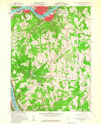
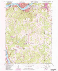
1960 Map of East Liverpool South
USGS Topo · Published 1962About this map
The industrial and riverine character of the Ohio River corridor defines this 1960 landscape where West Virginia, Ohio, and Pennsylvania meet. Industrial activity is evident in the numerous Strip Mines, Oil Wells, and the infrastructure of the New Cumberland Lock and Dam. While heavy industry hugs the riverbank near New Cumberland and East Liverpool, the interior of Hancock County transitions into the recreational and civic spaces of Tomlinson Run State Park and the County Childrens Home.
Find a feature on this map
52 named features on this map. Tap any name to fly to it.
Don’t see what you’re looking for? This feature index may not catch every label — zoom into the map to look around manually.
Map Details
Editions of this 1960 East Liverpool South Map
6 editions found
Other maps of this area

1901 · Beaver
USGS Topo · 1:62,500

1904 · Wellsville
USGS Topo · 1:62,500

1904 · Steubenville
USGS Topo · 1:62,500

1904 · Beaver
USGS Topo · 1:62,500

1904 · Burgettstown
USGS Topo · 1:62,500

1906 · Burgettstown
USGS Topo · 1:62,500

1935 · Steubenville
USGS Topo · 1:62,500

1937 · Wellsville
USGS Topo · 1:62,500

1942 · Steubenville
USGS Topo · 1:62,500

1944 · Wellsville
USGS Topo · 1:62,500