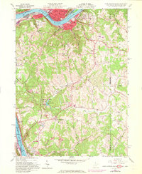
1960 Map of East Liverpool South
USGS Topo · Published 1972About this map
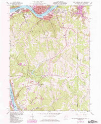
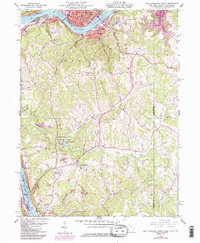
The Ohio River defines the northern and western margins of this survey, where the tri-state boundary meets at a sharp bend near East Liverpool. Industrial and transport networks are concentrated along the riverbanks, evidenced by the Penn Central rail lines and the Newell Toll Br connecting the manufacturing centers of Newell and Chester. Moving inland, the terrain shifts into the wooded hills of Tomlinson Run State Park, which encompasses Tomlinson Run Lake and various recreational clearings. This 1960s landscape shows a mix of civic infrastructure and rural life, featuring the County Childrens Home and Herrick Airport alongside traditional landmarks like the Locust Hill Cem and Emmanuel Mission Ch. The presence of several Strip Mine operations and extensive pipelines reveals the region's mid-century reliance on resource extraction.
Find a feature on this map
49 named features on this map. Tap any name to fly to it.
Don’t see what you’re looking for? This feature index may not catch every label — zoom into the map to look around manually.
Map Details
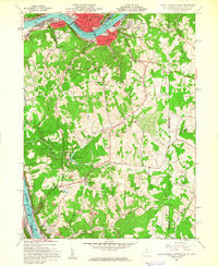
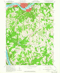
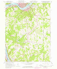
Editions of this 1960 East Liverpool South Map
6 editions found
Other maps of this area

1901 · Beaver
USGS Topo · 1:62,500

1904 · Wellsville
USGS Topo · 1:62,500

1904 · Steubenville
USGS Topo · 1:62,500

1904 · Beaver
USGS Topo · 1:62,500

1904 · Burgettstown
USGS Topo · 1:62,500

1906 · Burgettstown
USGS Topo · 1:62,500

1935 · Steubenville
USGS Topo · 1:62,500

1937 · Wellsville
USGS Topo · 1:62,500

1942 · Steubenville
USGS Topo · 1:62,500

1944 · Wellsville
USGS Topo · 1:62,500