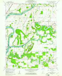
1959 Map of East Mount Carmel
USGS Topo · Published 1961About this map
The Wabash River, White River, and Patoka River converge in a complex hydraulic landscape of oxbows and bottomlands. This 1959 survey shows the intricate boundary network where Knox, Gibson, and Wabash counties meet, anchored by the Mount Carmel Ferry and the village of East Mount Carmel. The geography is defined by its seasonal waters, from the Cypress Swamps and Claypole Pond to landmarks like Kellys Ripple and Hanging Rock.
Find a feature on this map
33 named features on this map. Tap any name to fly to it.
Don’t see what you’re looking for? This feature index may not catch every label — zoom into the map to look around manually.
Map Details
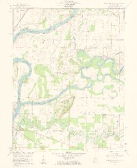
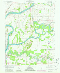
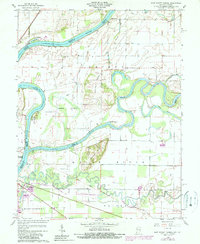
Editions of this 1959 East Mount Carmel Map
4 editions found
Other maps of this area

1901 · Princeton
USGS Topo · 1:62,500

1903 · Princeton
USGS Topo · 1:62,500

1903 · Patoka
USGS Topo · 1:125,000

1904 · Mount Carmel
USGS Topo · 1:62,500

1911 · Sumner
USGS Topo · 1:62,500

1913 · Sumner
USGS Topo · 1:62,500

1915 · Vincennes
USGS Topo · 1:62,500

1944 · Vincennes
USGS Topo · 1:62,500

1956 · Vincennes
USGS Topo · 1:250,000

1957 · Vincennes
USGS Topo · 1:250,000