Loading...
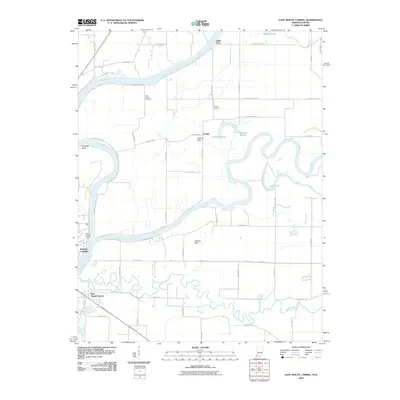
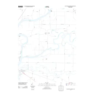
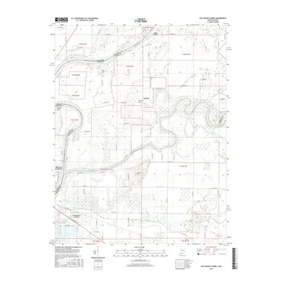
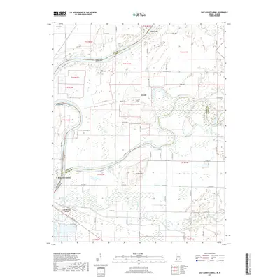
Loading map...1959 Map of East Mount Carmel
USGS Topo · Published 1981About this map
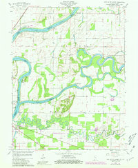
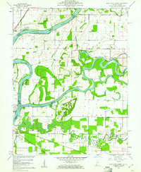
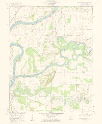
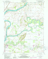
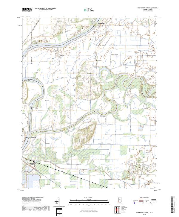
The White River and Wabash River converge in a complex network of oxbows and bottomlands at the Illinois and Indiana border. This 1959 survey, updated with 1977 aerial data, documents the intricate hydrology of the area, including Cypress Swamps, Claypole Pond, and Maucks Pond. The Indian Treaty Boundary cuts across the southern portion of the map, a significant historical line that persists in the modern landscape alongside local landmarks like Gordon Hills and the river obstacle at Kellys Ripple.
Find a feature on this map
33 named features on this map. Tap any name to fly to it.
Don’t see what you’re looking for? This feature index may not catch every label — zoom into the map to look around manually.
Map Details
Date Portrayed1959
Date Published1981
PublisherU.S. Geological Survey
Map TypeTopographic
Scale1:24,000
Physical Dimensions22.1 x 26.9 inches
Editions of this 1959 East Mount Carmel Map
4 editions found
Historical Maps of Mount Carmel Through Time
6 maps found
Featured Locations
Source Details
SourceU.S. Geological Survey
CopyrightPublic Domain