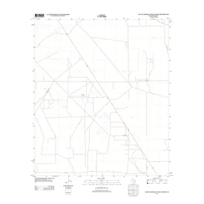
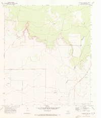
2013 Map of East of Barrilla Draw North
USGS Topo · Published 2013About this map
Toro Gas Field and the agricultural infrastructure of Flat Top Farm define this arid landscape in Reeves County. The map illustrates a region structured by energy extraction and cattle ranching, where a geometric grid of local transit routes such as Co Rd-112 and Co Rd-108 intersects the diagonal path of the regional highway. The survey documents the industrial footprint of West Texas at the start of the 21st century, showing how modern energy developments sit alongside established homesteads in a sparse, high-plains environment. Researchers will find a landscape marked by a network of well sites and ranching roads, including Ranch Road 2007, which provide a detailed record of land use and resource management in this corner of the Permian Basin.
Find a feature on this map
5 named features on this map. Tap any name to fly to it.
Don’t see what you’re looking for? This feature index may not catch every label — zoom into the map to look around manually.
Map Details
Editions of this 2013 East of Barrilla Draw North Map
This is the sole edition of this map. No revisions or reprints were ever made.
Other maps of this area
1931 · Barstow
USGS Topo · 1:125,000

1954 · Pecos
USGS Topo · 1:250,000

1957 · Pecos
USGS Topo · 1:250,000
1963 · Ligon Ranch
USGS Topo · 1:24,000
1963 · Old X Ranch
USGS Topo · 1:24,000
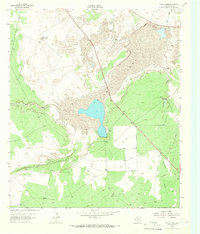
1963 · Toyah Lake
USGS Topo · 1:24,000
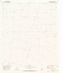
1970 · Barstow 3 SW
USGS Topo · 1:24,000
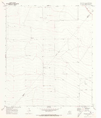
1970 · Barstow 3 SE
USGS Topo · 1:24,000
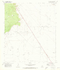
1970 · Barstow 3 NE
USGS Topo · 1:24,000
1970 · Barstow 3 NW
USGS Topo · 1:24,000