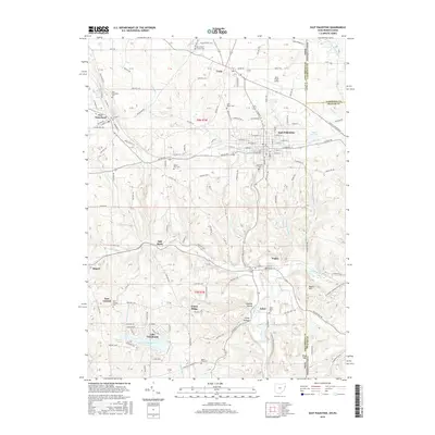
2016 Map of East Palestine
USGS Topo · Published 2016About this map
East Palestine and the surrounding villages of Unity and New Waterford anchor this landscape along the Ohio Pennsylvania border. This survey reflects a region defined by its religious and community heritage, evidenced by numerous burial grounds like the Unity Brick Church Cem and Mason Rich Cem. The terrain is deeply etched by a complex drainage network including Bull Creek, Leslie Run, and Sulphur Run, which flow through the hills toward the North Fork Little Beaver Creek.
Find a feature on this map
180 named features on this map. Tap any name to fly to it.
Don’t see what you’re looking for? This feature index may not catch every label — zoom into the map to look around manually.
Map Details
Editions of this 2016 East Palestine Map
This is the sole edition of this map. No revisions or reprints were ever made.
Other maps of this area

1901 · Beaver
USGS Topo · 1:62,500

1902 · New Castle
USGS Topo · 1:62,500

1904 · Newcastle
USGS Topo · 1:62,500

1904 · Wellsville
USGS Topo · 1:62,500

1904 · Beaver
USGS Topo · 1:62,500

1907 · Columbiana
USGS Topo · 1:62,500

1909 · Columbiana
USGS Topo · 1:62,500

1937 · Wellsville
USGS Topo · 1:62,500

1944 · Wellsville
USGS Topo · 1:62,500

1951 · Canton
USGS Topo · 1:250,000