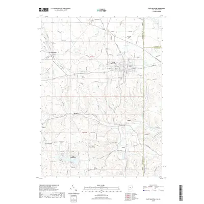
2019 Map of East Palestine
USGS Topo · Published 2019About this map
East Palestine and the surrounding rural townships of Columbiana County define this borderland where Ohio meets Pennsylvania. The landscape is a network of small agricultural and residential settlements, including Unity, Negley, and New Waterford. Water management and recreation are central to the area's layout, seen in the developed residential fingers of Lake Tomahawk and the various small drainages like Leslie Run and Bull Creek.
Find a feature on this map
141 named features on this map. Tap any name to fly to it.
Don’t see what you’re looking for? This feature index may not catch every label — zoom into the map to look around manually.
Map Details
Editions of this 2019 East Palestine Map
This is the sole edition of this map. No revisions or reprints were ever made.
Other maps of this area

1901 · Beaver
USGS Topo · 1:62,500

1902 · New Castle
USGS Topo · 1:62,500

1904 · Newcastle
USGS Topo · 1:62,500

1904 · Wellsville
USGS Topo · 1:62,500

1904 · Beaver
USGS Topo · 1:62,500

1907 · Columbiana
USGS Topo · 1:62,500

1909 · Columbiana
USGS Topo · 1:62,500

1937 · Wellsville
USGS Topo · 1:62,500

1944 · Wellsville
USGS Topo · 1:62,500

1951 · Canton
USGS Topo · 1:250,000