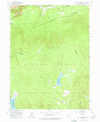
1963 Map of East Park Reservoir
USGS Topo · Published 1977About this map
Ashley National Forest dominates this high-elevation landscape, where water management and recreational infrastructure intersect in the Uinta Mountains. The 1963 survey captures the area during a period of established forest management, highlighting the East Park Reservoir and Oaks Park Reservoir as central hydrological features. These reservoirs, alongside numerous named basins like Eagle Basin and meadows such as Dyer Park, underscore the region's importance for both water storage and seasonal grazing.
Find a feature on this map
33 named features on this map. Tap any name to fly to it.
Don’t see what you’re looking for? This feature index may not catch every label — zoom into the map to look around manually.
Map Details
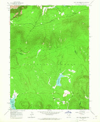
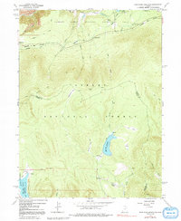
Editions of this 1963 East Park Reservoir Map
3 editions found
Other maps of this area

1885 · Ashley
USGS Topo · 1:250,000

1906 · Marsh Peak
USGS Topo · 1:125,000

1908 · Marsh Peak
USGS Topo · 1:125,000

1950 · Burnt Cabin Gorge
USGS Topo · 1:24,000

1950 · Dyer Mountain
USGS Topo · 1:24,000

1952 · Dutch John Mtn
USGS Topo · 1:24,000

1952 · Flaming Gorge
USGS Topo · 1:24,000

1954 · Vernal
USGS Topo · 1:250,000

1958 · Vernal
USGS Topo · 1:250,000

1960 · Vernal
USGS Topo · 1:250,000