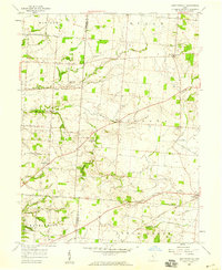
1958 Map of East Ringgold
USGS Topo · Published 1959About this map
Hargus Creek State Reserve dominates the southwestern corner of this mid-century landscape, illustrating the conservation efforts of the late 1950s in central Ohio. The terrain is defined by a dense web of waterways including Little Walnut Creek, Turkey Run, and Clear Creek, which carve through the townships of Walnut, Bloom, and Madison. The map records a transition from the agricultural heritage of the Pickaway and Fairfield county line to modern infrastructure, noted by numerous named rural roads like Ashville-Fairfield Road. Local life centers around small crossroads communities such as East Ringgold and New Strasburg, while the Pennsylvania railroad line serves the southeastern corner near Amanda. Genealogists will find significant detail in the placement of several burial grounds, such as East Union Cem and the Ritter Cem.
Find a feature on this map
42 named features on this map. Tap any name to fly to it.
Don’t see what you’re looking for? This feature index may not catch every label — zoom into the map to look around manually.
Map Details
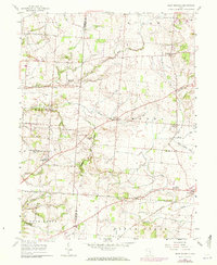
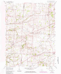
Editions of this 1958 East Ringgold Map
3 editions found
Other maps of this area

1907 · Lancaster
USGS Topo · 1:62,500

1907 · Thurston
USGS Topo · 1:62,500

1909 · Lancaster
USGS Topo · 1:62,500

1909 · Thurston
USGS Topo · 1:62,500

1914 · Circleville
USGS Topo · 1:62,500

1925 · East Columbus
USGS Topo · 1:62,500

1943 · Circleville
USGS Topo · 1:62,500

1943 · East Columbus
USGS Topo · 1:62,500

1947 · Columbus
USGS Topo · 1:250,000
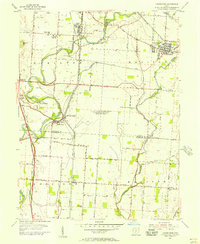
1955 · Lockbourne
USGS Topo · 1:24,000
Featured Places
- Walnut, Walnut Township
- Amanda, Amanda Township
- Madison Township, OH
- Clearcreek Township, OH
- Bloom Township, OH