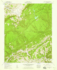
1957 Map of East Stone Gap
USGS Topo · Published 1959About this map
Powell Valley serves as a primary corridor for settlement and transit in this late 1950s survey of the Virginia highlands. The community of East Stone Gap sits near the northern boundary, where the Southern railroad tracks and U.S. 23 skirt the base of Powell Mountain. The landscape is defined by the sharp transition from these low valley agricultural areas to the high, forested ridges of the Jefferson National Forest.
Find a feature on this map
88 named features on this map. Tap any name to fly to it.
Don’t see what you’re looking for? This feature index may not catch every label — zoom into the map to look around manually.
Map Details
Editions of this 1957 East Stone Gap Map
4 editions found
Other maps of this area

1894 · Estillville
USGS Topo · 1:125,000

1920 · Wise
USGS Topo · 1:48,000

1921 · Big Stone Gap
USGS Topo · 1:48,000

1921 · Wise
USGS Topo · 1:62,500

1922 · Big Stone Gap
USGS Topo · 1:62,500

1929 · Big Stone Gap
USGS Topo · 1:62,500
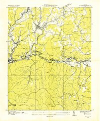
1935 · Wise
USGS Topo · 1:24,000

1935 · Moggasin
USGS Topo · 1:48,000
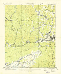
1935 · Norton
USGS Topo · 1:24,000
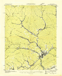
1935 · Appalachia
USGS Topo · 1:24,000