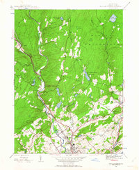
1944 Map of East Stroudsburg
USGS Topo · Published 1963About this map
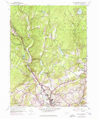
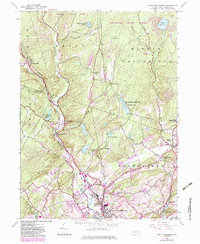
Brodhead Creek carves a deep valley through the Pocono Mountains, serving as the primary corridor for the Delaware Lackawanna and Western railroad in this 1944 survey. The landscape transitions from the dense, swampy forests of Ivan Swamp and Bear Swamp Run in the north to the growing borough of East Stroudsburg at the southern edge. Along the water gaps and creek bends, small settlements like Analomink and Henryville appear as vital points in the local transport network.
Find a feature on this map
44 named features on this map. Tap any name to fly to it.
Don’t see what you’re looking for? This feature index may not catch every label — zoom into the map to look around manually.
Map Details
Editions of this 1944 East Stroudsburg Map
6 editions found
Other maps of this area

1891 · Delaware Water Gap
USGS Topo · 1:62,500

1893 · Delaware Water Gap
USGS Topo · 1:62,500

1914 · Wind Gap
USGS Topo · 1:62,500

1916 · Wind Gap
USGS Topo · 1:62,500

1919 · Pocono
USGS Topo · 1:62,500

1921 · Pocono
USGS Topo · 1:62,500

1923 · Pocono
USGS Topo · 1:62,500

1924 · Bushkill
USGS Topo · 1:48,000

1936 · Delaware Water Gap
USGS Topo · 1:48,000

1941 · Delaware Water Gap
USGS Topo · 1:62,500
Featured Places
- Paradise Township, PA
- Analomink, Stroud Township
- Marshalls Creek, Smithfield Township
- Middle Smithfield Township, PA
- Arlington Heights, Stroud Township