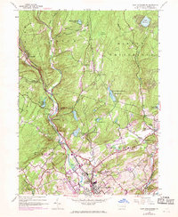
1944 Map of East Stroudsburg
USGS Topo · Published 1969About this map
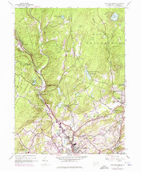
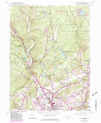
Brodhead Creek carves a deep path through the landscape of the Pocono region, serving as the primary corridor for the Erie Lackawanna railroad. This 1944 survey, updated with 1968 aerial revisions, documents a period of transition for Monroe County as local settlements like Analomink and Henryville maintained their rural character while East Stroudsburg expanded to the south. The map highlights the area's complex water management and recreational history, featuring the East Stroudsburg Reservoir, Blue Mtn Camps, and several falls including Lee Falls and Buttermilk Falls. Genealogists and local historians can locate smaller landmarks such as Lesoine Sch and the Franklin Hill Cem, alongside transportation features like the Stroudsburg-Pocono Landing Field and Stites Bridge. These details provide a clear view of the mid-century infrastructure and topography before further modern development altered the rural valley between Pine Mountain and Mt Zion.
Find a feature on this map
43 named features on this map. Tap any name to fly to it.
Don’t see what you’re looking for? This feature index may not catch every label — zoom into the map to look around manually.
Map Details
Editions of this 1944 East Stroudsburg Map
6 editions found
Other maps of this area

1891 · Delaware Water Gap
USGS Topo · 1:62,500

1893 · Delaware Water Gap
USGS Topo · 1:62,500

1914 · Wind Gap
USGS Topo · 1:62,500

1916 · Wind Gap
USGS Topo · 1:62,500

1919 · Pocono
USGS Topo · 1:62,500

1921 · Pocono
USGS Topo · 1:62,500

1923 · Pocono
USGS Topo · 1:62,500

1924 · Bushkill
USGS Topo · 1:48,000

1936 · Delaware Water Gap
USGS Topo · 1:48,000

1941 · Delaware Water Gap
USGS Topo · 1:62,500
Featured Places
- Paradise Township, PA
- Analomink, Stroud Township
- Marshalls Creek, Smithfield Township
- Middle Smithfield Township, PA
- Arlington Heights, Stroud Township