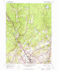
1944 Map of East Stroudsburg
USGS Topo · Published 1975About this map
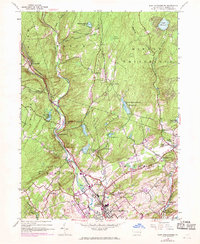
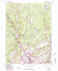
Brodhead Creek and Paradise Creek carve through the landscape of the Poconos, creating a complex geography of water and rail that defined this region of Monroe County. The Erie Lackawanna railroad follows the winding path of the creek, connecting settlements like Henryville and Analomink. Purple revision markings from the late 1960s and early 1970s illustrate the post-war growth of East Stroudsburg, including the expansion of residential areas near Mt Zion and the presence of the Stroudsburg-Pocono Landing Field.
Find a feature on this map
45 named features on this map. Tap any name to fly to it.
Don’t see what you’re looking for? This feature index may not catch every label — zoom into the map to look around manually.
Map Details
Editions of this 1944 East Stroudsburg Map
6 editions found
Other maps of this area

1891 · Delaware Water Gap
USGS Topo · 1:62,500

1893 · Delaware Water Gap
USGS Topo · 1:62,500

1914 · Wind Gap
USGS Topo · 1:62,500

1916 · Wind Gap
USGS Topo · 1:62,500

1919 · Pocono
USGS Topo · 1:62,500

1921 · Pocono
USGS Topo · 1:62,500

1923 · Pocono
USGS Topo · 1:62,500

1924 · Bushkill
USGS Topo · 1:48,000

1936 · Delaware Water Gap
USGS Topo · 1:48,000

1941 · Delaware Water Gap
USGS Topo · 1:62,500
Featured Places
- Paradise Township, PA
- Analomink, Stroud Township
- Marshalls Creek, Smithfield Township
- Middle Smithfield Township, PA
- Arlington Heights, Stroud Township