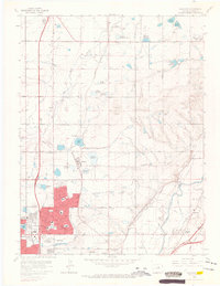
1965 Map of Eastlake
USGS Topo · Published 1967About this map
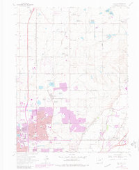
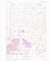
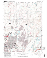
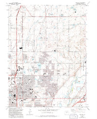
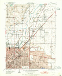
The South Platte River and its accompanying network of irrigation ditches define this mid-1960s landscape north of Denver. Heavy residential expansion is evident in Northglenn and Thornton, where new subdivisions like Hazeltine Heights and Hi-Land Acres contrast with the older agricultural character of Eastlake. This era of growth is anchored by essential community infrastructure, including the North Huron Jr High Sch and several large memorial parks such as Highland Memory Gardens.
Find a feature on this map
76 named features on this map. Tap any name to fly to it.
Don’t see what you’re looking for? This feature index may not catch every label — zoom into the map to look around manually.
Map Details
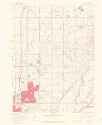
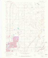
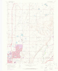
Editions of this 1965 Eastlake Map
8 editions found
Other maps of this area

1890 · East Denver
USGS Topo · 1:125,000

1899 · West Denver
USGS Topo · 1:125,000

1902 · Greeley
USGS Topo · 1:125,000

1904 · Niwot
USGS Topo · 1:62,500
1938 · Derby
USGS Topo · 1:24,000

1938 · Long Branch
USGS Topo · 1:24,000
1940 · Brighton
USGS Topo · 1:31,680

1940 · Eastlake
USGS Topo · 1:31,680
1940 · Lafayette
USGS Topo · 1:31,680
1940 · Derby
USGS Topo · 1:31,680