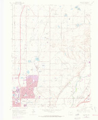
1965 Map of Eastlake
USGS Topo · Published 1973About this map
The South Platte River and a complex network of agricultural waterways, including the Bull Canal and Brantner Ditch, define the landscape of Adams County in this mid-1960s study. This era captures the rapid southward expansion of Northglenn and Thornton, where new subdivisions are shown encroaching upon long-established irrigation infrastructure. Traditional farming landmarks like the Riverdale Grange Hall and Wesley Chapel Cem stand in contrast to the emerging suburban grid.
Find a feature on this map
60 named features on this map. Tap any name to fly to it.
Don’t see what you’re looking for? This feature index may not catch every label — zoom into the map to look around manually.
Map Details
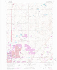
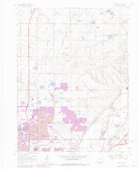
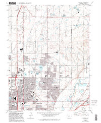
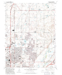
Editions of this 1965 Eastlake Map
8 editions found
Other maps of this area

1890 · East Denver
USGS Topo · 1:125,000

1899 · West Denver
USGS Topo · 1:125,000

1902 · Greeley
USGS Topo · 1:125,000

1904 · Niwot
USGS Topo · 1:62,500

1938 · Derby
USGS Topo · 1:24,000

1938 · Long Branch
USGS Topo · 1:24,000

1940 · Brighton
USGS Topo · 1:31,680

1940 · Eastlake
USGS Topo · 1:31,680

1940 · Lafayette
USGS Topo · 1:31,680

1940 · Derby
USGS Topo · 1:31,680