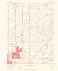
1965 Map of Eastlake
USGS Topo · Published 1967About this map
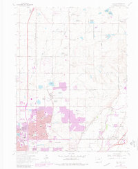
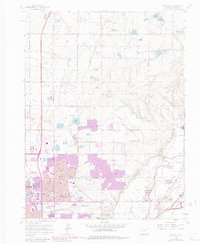
Agricultural roots meet mid-century suburban expansion in this Adams County landscape. The Union Pacific railroad corridor anchors the small settlement of Eastlake and the industrial siding at Hazeltine, while the emerging street grids of Northglenn and Thornton signal a new era of residential development. This 1965 survey captures the area just before the landscape-altering flood of June 1965, preserving the alignment of local infrastructure like the Riverdale Grange Hall and the Wesley Chapel Cem.
Find a feature on this map
54 named features on this map. Tap any name to fly to it.
Don’t see what you’re looking for? This feature index may not catch every label — zoom into the map to look around manually.
Map Details
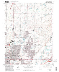
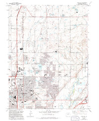
Editions of this 1965 Eastlake Map
8 editions found
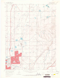
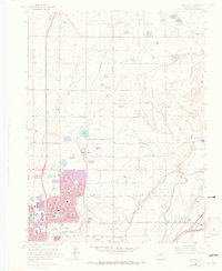
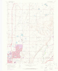
Other maps of this area

1890 · East Denver
USGS Topo · 1:125,000

1899 · West Denver
USGS Topo · 1:125,000

1902 · Greeley
USGS Topo · 1:125,000

1904 · Niwot
USGS Topo · 1:62,500

1938 · Derby
USGS Topo · 1:24,000

1938 · Long Branch
USGS Topo · 1:24,000

1940 · Brighton
USGS Topo · 1:31,680

1940 · Eastlake
USGS Topo · 1:31,680

1940 · Lafayette
USGS Topo · 1:31,680

1940 · Derby
USGS Topo · 1:31,680