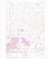
1965 Map of Eastlake
USGS Topo · Published 1983About this map
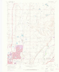
The Union Pacific railroad corridor serves as the industrial spine for this portion of Adams County, where the agricultural past met late 20th-century suburban expansion. The community of Eastlake is surrounded by a complex system of irrigation and storage, including Eastlake Res No 1, Eastlake Res No 2, and Eastlake Res No 3. These reservoirs, alongside others like Wadley Res No 1 and Lake Erie, illustrate the intensive water management required for the region's transition from farmland to the burgeoning corporate limits of Thornton and Northglenn.
Find a feature on this map
50 named features on this map. Tap any name to fly to it.
Don’t see what you’re looking for? This feature index may not catch every label — zoom into the map to look around manually.
Map Details
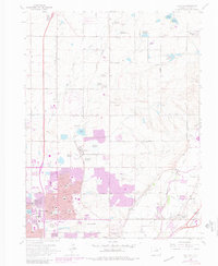
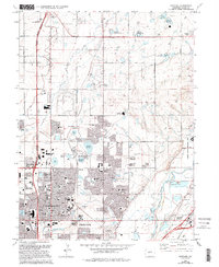
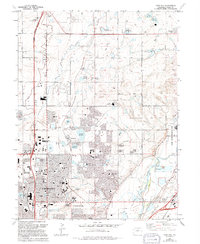
Editions of this 1965 Eastlake Map
8 editions found
Other maps of this area

1890 · East Denver
USGS Topo · 1:125,000

1899 · West Denver
USGS Topo · 1:125,000

1902 · Greeley
USGS Topo · 1:125,000

1904 · Niwot
USGS Topo · 1:62,500

1938 · Derby
USGS Topo · 1:24,000

1938 · Long Branch
USGS Topo · 1:24,000

1940 · Brighton
USGS Topo · 1:31,680

1940 · Eastlake
USGS Topo · 1:31,680

1940 · Lafayette
USGS Topo · 1:31,680

1940 · Derby
USGS Topo · 1:31,680