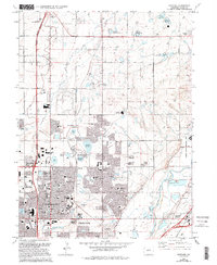
1965 Map of Eastlake
USGS Topo · Published 1994About this map
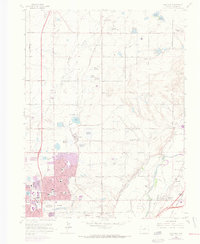
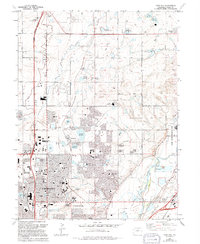
Northglenn and Thornton show extensive suburban development in this mid-century survey, edited for the 1990s. The landscape is a mix of dense residential blocks and a sophisticated irrigation network, evidenced by numerous named water bodies such as Lake Erie, Ohio Lake, and the three Eastlake Reservoirs. Local institutional growth is reflected in the many school sites, including Horizon High Sch and Willis A Tarver Sch, alongside the sprawling Adams County Regional Park featuring its golf course and fairground.
Find a feature on this map
71 named features on this map. Tap any name to fly to it.
Don’t see what you’re looking for? This feature index may not catch every label — zoom into the map to look around manually.
Map Details
Editions of this 1965 Eastlake Map
8 editions found
Other maps of this area

1890 · East Denver
USGS Topo · 1:125,000

1899 · West Denver
USGS Topo · 1:125,000

1902 · Greeley
USGS Topo · 1:125,000

1904 · Niwot
USGS Topo · 1:62,500

1938 · Derby
USGS Topo · 1:24,000

1938 · Long Branch
USGS Topo · 1:24,000

1940 · Brighton
USGS Topo · 1:31,680

1940 · Eastlake
USGS Topo · 1:31,680

1940 · Lafayette
USGS Topo · 1:31,680

1940 · Derby
USGS Topo · 1:31,680