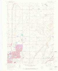
1965 Map of Eastlake
USGS Topo · Published 1973About this map
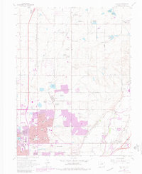
Agricultural water management and emerging suburban growth define this section of Adams County as mapped in the mid-1960s and updated via 1971 aerial photography. The landscape is dominated by an intricate network of irrigation systems, including the German Reservoir No 1, Wadley Res No 3, and Eastlake Res No 1, which supported the region's farming before the rapid expansion of residential corridors. The Union Pacific line anchors the small community of Eastlake, while the southern portion of the sheet shows the expanding grids of Northglenn and Thornton. This era marks a distinct shift in land use, as former homesteads and open fields give way to schools like the Malley Drive Sch and civic landmarks such as Highland Memory Gardens. Along the eastern edge, the South Platte River and the small settlement of Hazeltine provide a glimpse into the area's older river-oriented development.
Find a feature on this map
56 named features on this map. Tap any name to fly to it.
Don’t see what you’re looking for? This feature index may not catch every label — zoom into the map to look around manually.
Map Details
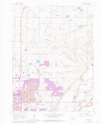
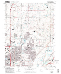
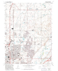
Editions of this 1965 Eastlake Map
8 editions found
Other maps of this area

1890 · East Denver
USGS Topo · 1:125,000

1899 · West Denver
USGS Topo · 1:125,000

1902 · Greeley
USGS Topo · 1:125,000

1904 · Niwot
USGS Topo · 1:62,500

1938 · Derby
USGS Topo · 1:24,000

1938 · Long Branch
USGS Topo · 1:24,000

1940 · Brighton
USGS Topo · 1:31,680

1940 · Eastlake
USGS Topo · 1:31,680

1940 · Lafayette
USGS Topo · 1:31,680

1940 · Derby
USGS Topo · 1:31,680