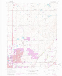
1965 Map of Eastlake
USGS Topo · Published 1980About this map
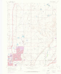
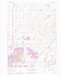
Water management and agricultural development characterize this Colorado landscape, where an extensive network of ditches and reservoirs like Wadley Res No 3 and Signal Res No 1 sustain the arid high plains. The transition from rural farming to suburban expansion is evident in the growth of Thornton and Northglenn, with new residential tracts appearing alongside established landmarks like the Riverdale Grange Hall. The South Platte River cuts through the southeastern corner, serving as a corridor for the Union Pacific railroad and industrial operations at Hazeltine Siding. Local community life is documented through the presence of institutions such as North Huron Jr High Sch and the Wesley Chapel Cem, providing essential markers for genealogical research in Adams County. This edition includes purple photorevision layers that visualize the rapid suburban sprawl reaching toward Hi-Land Acres and Quimby.
Find a feature on this map
61 named features on this map. Tap any name to fly to it.
Don’t see what you’re looking for? This feature index may not catch every label — zoom into the map to look around manually.
Map Details
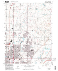
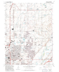
Editions of this 1965 Eastlake Map
8 editions found
Other maps of this area

1890 · East Denver
USGS Topo · 1:125,000

1899 · West Denver
USGS Topo · 1:125,000

1902 · Greeley
USGS Topo · 1:125,000

1904 · Niwot
USGS Topo · 1:62,500

1938 · Derby
USGS Topo · 1:24,000

1938 · Long Branch
USGS Topo · 1:24,000

1940 · Brighton
USGS Topo · 1:31,680

1940 · Eastlake
USGS Topo · 1:31,680

1940 · Lafayette
USGS Topo · 1:31,680

1940 · Derby
USGS Topo · 1:31,680