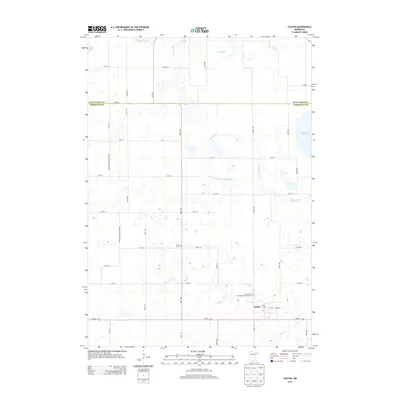
2013 Map of Easton
USGS Topo · Published 2013About this map
Easton serves as the primary hub of this Faribault County landscape, situated along the southern corridor of MN-109. The town's grid is anchored by the Po and Cedar St, reflecting its role as a local service center for the surrounding agricultural prairie. Water management is a defining characteristic of the terrain, as seen in the engineered path of County Ditch Number Seventythree and the winding course of the Maple River, which cuts across the county line between Blue Earth Co and Faribault Co. Family historians will find interest in several rural burial grounds, including the Saint Peter's Evangelical Lutheran Cem on the outskirts of town and the isolated Lura Cem near 210th St. To the north and east, the natural basins of Lura Lake, Minnesota Lake, and the wetland of Big Slough break the precise geometric pattern of township roads and section lines.
Find a feature on this map
39 named features on this map. Tap any name to fly to it.
Don’t see what you’re looking for? This feature index may not catch every label — zoom into the map to look around manually.
Map Details
Editions of this 2013 Easton Map
This is the sole edition of this map. No revisions or reprints were ever made.
Other maps of this area

1954 · Fairmont
USGS Topo · 1:250,000

1954 · Mason City
USGS Topo · 1:250,000
1955 · Bricelyn
USGS Topo · 1:62,500

1957 · Mason City
USGS Topo · 1:250,000

1958 · Mason City
USGS Topo · 1:250,000

1958 · Fairmont
USGS Topo · 1:250,000
1967 · Minnesota Lake
USGS Topo · 1:24,000
1967 · Mapleton
USGS Topo · 1:24,000
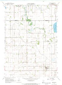
1967 · Easton
USGS Topo · 1:24,000
1967 · Delavan
USGS Topo · 1:24,000