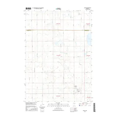
2016 Map of Easton
USGS Topo · Published 2016About this map
The town of Easton serves as the primary focal point of this agricultural landscape in southern Minnesota, situated near the southern edge of the quadrangle. The map documents a sophisticated drainage network essential for prairie farming, most notably the meandering course of the Maple River and the engineered County Ditch Number Seventythree. Local heritage is anchored by significant sites like the Saint Peter's Evangelical Lutheran Cem on the outskirts of town and the more isolated Lura Cem further north. The terrain is dotted with several water bodies that speak to the region's glacial history, including Lura Lake in the northwest corner and a portion of Minnesota Lake to the east. The township lines and road grid, including numerous numbered routes like Co RD 17, define a highly organized rural structure where the boundary between Blue Earth Co and Faribault Co bisects the northern half of the sheet.
Find a feature on this map
55 named features on this map. Tap any name to fly to it.
Don’t see what you’re looking for? This feature index may not catch every label — zoom into the map to look around manually.
Map Details
Editions of this 2016 Easton Map
This is the sole edition of this map. No revisions or reprints were ever made.
Other maps of this area

1954 · Fairmont
USGS Topo · 1:250,000

1954 · Mason City
USGS Topo · 1:250,000
1955 · Bricelyn
USGS Topo · 1:62,500

1957 · Mason City
USGS Topo · 1:250,000

1958 · Mason City
USGS Topo · 1:250,000

1958 · Fairmont
USGS Topo · 1:250,000
1967 · Minnesota Lake
USGS Topo · 1:24,000
1967 · Mapleton
USGS Topo · 1:24,000
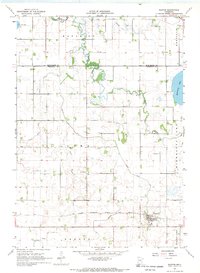
1967 · Easton
USGS Topo · 1:24,000
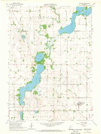
1967 · Delavan
USGS Topo · 1:24,000