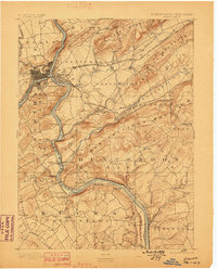
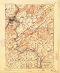
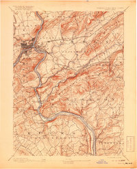
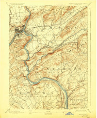
1891 Map of Easton
USGS Topo · Published 1898About this map
The Delaware River serves as the central artery for this late 19th-century industrial corridor, where the border between Pennsylvania and New Jersey is defined by complex transportation networks. This survey illustrates a landscape deeply shaped by the simultaneous operation of major canal systems and competing railroads. The Morris Canal and Pennsylvania Canal trace the riverbanks, supporting heavy industry such as Durham Furnace. At the northern end, the urban concentration of Easton and Phillipsburg transitions into the narrow valleys of the Musconetcong River and Pohatcong Creek. The map records a critical era of civil engineering, notably the Musconetcong Tunnel along the Lehigh Valley Railroad. Beyond the industrial hubs, small settlements like Still Valley, Asbury, and Little York dot the base of Musconetcong Mountain and Scotts Mountain.
Find a feature on this map
93 named features on this map. Tap any name to fly to it.
Don’t see what you’re looking for? This feature index may not catch every label — zoom into the map to look around manually.
Map Details
Editions of this 1891 Easton Map
8 editions found
Other maps of this area

1888 · Hackettstown
USGS Topo · 1:62,500

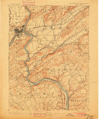
1888 · Quakertown
USGS Topo · 1:62,500

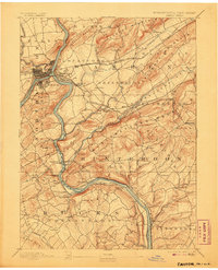
1890 · Easton
USGS Topo · 1:62,500

1890 · High Bridge
USGS Topo · 1:62,500

1890 · Lambertville
USGS Topo · 1:62,500

1890 · Doylestown
USGS Topo · 1:62,500

1890 · Quakertown
USGS Topo · 1:62,500

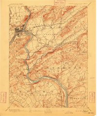
1891 · Easton
USGS Topo · 1:62,500

1891 · Lambertville
USGS Topo · 1:62,500

1891 · Doylestown
USGS Topo · 1:62,500