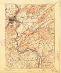
1891 Map of Easton
USGS Topo · Published 1913About this map
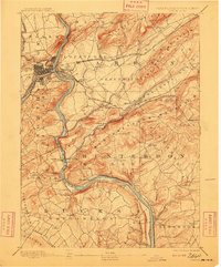
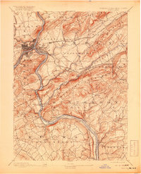
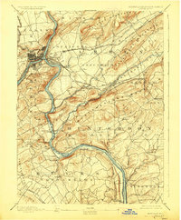
Industrial and transport networks of the late nineteenth century converge along the Delaware River, where the Pennsylvania Canal Belvidere Division and the Morris Canal flank the waterway. This survey captures a dense era of infrastructure, showing the intricate path of the Lehigh Valley Railroad and the Central Railroad of New Jersey as they navigate the ridges of Musconetcong Mountain and Pohatcong Mountain. Notable landmarks such as Durham Furnace and the Musconetcong Tunnel highlight the region's reliance on mineral extraction and heavy engineering.
Find a feature on this map
101 named features on this map. Tap any name to fly to it.
Don’t see what you’re looking for? This feature index may not catch every label — zoom into the map to look around manually.
Map Details
Editions of this 1891 Easton Map
8 editions found
Other maps of this area

1888 · Hackettstown
USGS Topo · 1:62,500

1888 · Quakertown
USGS Topo · 1:62,500

1890 · Easton
USGS Topo · 1:62,500

1890 · High Bridge
USGS Topo · 1:62,500

1890 · Lambertville
USGS Topo · 1:62,500

1890 · Doylestown
USGS Topo · 1:62,500

1890 · Quakertown
USGS Topo · 1:62,500

1891 · Easton
USGS Topo · 1:62,500

1891 · Lambertville
USGS Topo · 1:62,500

1891 · Doylestown
USGS Topo · 1:62,500