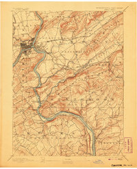
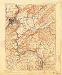
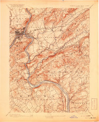
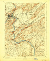
1891 Map of Easton
USGS Topo · Published 1906About this map
Easton and Phillipsburg serve as the industrial anchors at the confluence of the Delaware River and Bushkill Creek, where the complex transportation networks of the late nineteenth century converged. This survey, conducted by W. R. Atkinson and the Geological Survey of New Jersey, reveals a landscape defined by the heavy infrastructure of the canal era and the rising dominance of rail. The Morris Canal and Pennsylvania Canal trace the riverbanks, paralleled by a dense grid of competing lines including the Lehigh Valley Railroad and the Central Railroad Of New Jersey.
Find a feature on this map
92 named features on this map. Tap any name to fly to it.
Don’t see what you’re looking for? This feature index may not catch every label — zoom into the map to look around manually.
Map Details
Editions of this 1891 Easton Map
8 editions found
Other maps of this area

1888 · Hackettstown
USGS Topo · 1:62,500

1888 · Quakertown
USGS Topo · 1:62,500

1890 · Easton
USGS Topo · 1:62,500

1890 · High Bridge
USGS Topo · 1:62,500

1890 · Lambertville
USGS Topo · 1:62,500

1890 · Doylestown
USGS Topo · 1:62,500

1890 · Quakertown
USGS Topo · 1:62,500

1891 · Easton
USGS Topo · 1:62,500

1891 · Lambertville
USGS Topo · 1:62,500

1891 · Doylestown
USGS Topo · 1:62,500