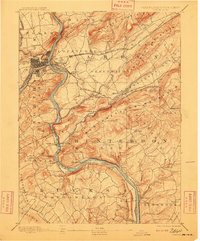
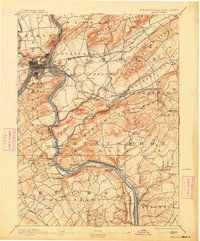
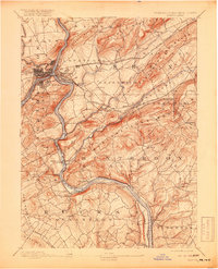
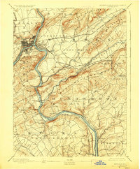
1891 Map of Easton
USGS Topo · Published 1909About this map
Easton and Phillipsburg sit at the strategic confluence of the Lehigh River and the Delaware River, serving as a late 19th-century nexus for industrial transport. The landscape is defined by its sophisticated water and rail infrastructure, including the Morris Canal winding through Lopatcong and the Pennsylvania Canal paralleling the Delaware. These artificial waterways, alongside the Delaware Lackawanna and Western Railroad, facilitated the heavy movement of goods through the gaps of Marble Mountain and Scotts Mountain. To the south, the engineering of the era is evident in the Musconetcong Tunnel, which pierced through Musconetcong Mountain to connect the rail lines of Bethlehem and Union. Small agricultural and milling communities like Spring Mills, Still Valley, and Lows Hollow dot the valleys between these prominent ridges, illustrating the dense settlement patterns before the dominance of modern highways.
Find a feature on this map
94 named features on this map. Tap any name to fly to it.
Don’t see what you’re looking for? This feature index may not catch every label — zoom into the map to look around manually.
Map Details
Editions of this 1891 Easton Map
8 editions found
Other maps of this area

1888 · Hackettstown
USGS Topo · 1:62,500

1888 · Quakertown
USGS Topo · 1:62,500

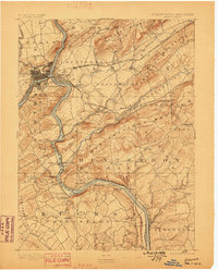
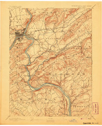
1890 · Easton
USGS Topo · 1:62,500

1890 · High Bridge
USGS Topo · 1:62,500

1890 · Lambertville
USGS Topo · 1:62,500

1890 · Doylestown
USGS Topo · 1:62,500

1890 · Quakertown
USGS Topo · 1:62,500

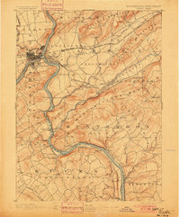
1891 · Easton
USGS Topo · 1:62,500

1891 · Lambertville
USGS Topo · 1:62,500

1891 · Doylestown
USGS Topo · 1:62,500