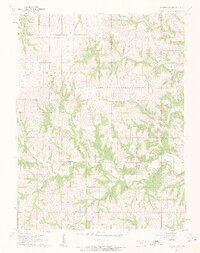
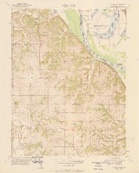
1961 Map of Easton SW
USGS Topo · Published 1962About this map
Jefferson County rural life in the early 1960s is defined by its deep stream valleys and agricultural townships. This survey of Jefferson and portions of Easton, Alexandria, and Union townships shows a landscape carved by the waters of Buttermilk Creek and Hulls Branch. The map reveals a high concentration of community landmarks that served generations of farming families, including Hebron Ch and Edmonds Ch.
Find a feature on this map
21 named features on this map. Tap any name to fly to it.
Don’t see what you’re looking for? This feature index may not catch every label — zoom into the map to look around manually.
Map Details
Editions of this 1961 Easton SW Map
3 editions found
Other maps of this area

1886 · Oskaloosa
USGS Topo · 1:125,000

1888 · Oskaloosa
USGS Topo · 1:125,000

1894 · Oskaloosa
USGS Topo · 1:125,000

1948 · Oak Mills
USGS Topo · 1:24,000

1948 · Jarbalo
USGS Topo · 1:24,000

1950 · Kansas City
USGS Topo · 1:250,000

1950 · Easton
USGS Topo · 1:24,000
1950 · Jarbalo
USGS Topo · 1:24,000

1950 · Mc Louth
USGS Topo · 1:24,000
1951 · Oak Mills
USGS Topo · 1:24,000