
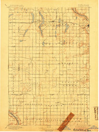
1897 Map of Eckelson
USGS Topo · Published 1897About this map
Glacial depressions and water bodies dominate this prairie landscape in Barnes and Stutsman Counties, where the Northern Pacific R. R. serves as the primary artery for settlement. The terrain is marked by a significant chain of lakes, including the elongated Eckelson Lakes, Fox Lake, and Hobart Lake, which break the geometric precision of the township grid. These water sources likely dictated the placement of early railroad towns like Sanborn and Eckelson.
Find a feature on this map
56 named features on this map. Tap any name to fly to it.
Don’t see what you’re looking for? This feature index may not catch every label — zoom into the map to look around manually.
Map Details
Editions of this 1897 Eckelson Map
3 editions found
Other maps of this area

1894 · La Moure
USGS Topo · 1:62,500

1895 · Lamoure
USGS Topo · 1:125,000

1896 · Jamestown
USGS Topo · 1:125,000

1896 · Edgeley
USGS Topo · 1:125,000

1897 · Tower
USGS Topo · 1:125,000

1900 · Pingree
USGS Topo · 1:125,000

1918 · La Moure
USGS Topo · 1:125,000

1925 · Edgeley
USGS Topo · 1:125,000

1951 · Spiritwood Lake
USGS Topo · 1:24,000

1952 · Ypsilanti
USGS Topo · 1:24,000