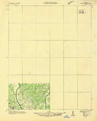
1936 Map of Eddyville
USGS Topo · Published 1936About this map
The Cumberland River and Tennessee River dominate this 1936 landscape, converging toward the Ohio River Pool 52 in a region defined by its waterway transit. This advance sheet, compiled from aerial photographs by the Tennessee Valley Authority and the USGS, captures the area just before major mid-century hydroelectric projects would forever alter these river valleys. The settlement at Grand Rivers serves as a focal point between the two massive river systems, while the Illinois Central railroad provides the primary overland link through the territory.
Find a feature on this map
26 named features on this map. Tap any name to fly to it.
Don’t see what you’re looking for? This feature index may not catch every label — zoom into the map to look around manually.
Map Details
Editions of this 1936 Eddyville Map
This is the sole edition of this map. No revisions or reprints were ever made.
Other maps of this area
1908 · Princeton
USGS Topo · 1:62,500
1909 · Providence
USGS Topo · 1:62,500
1910 · Princeton
USGS Topo · 1:62,500
1916 · Fords Ferry
USGS Topo · 1:62,500
1916 · Golconda
USGS Topo · 1:62,500
1920 · Goloonda
USGS Topo · 1:48,000
1921 · Fords Ferry
USGS Topo · 1:48,000
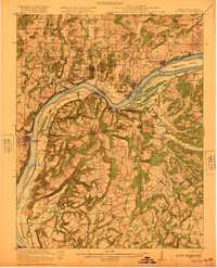
1921 · Golconda
USGS Topo · 1:62,500
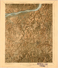
1925 · Cave In Rock
USGS Topo · 1:62,500
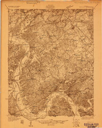
1928 · Eddyville
USGS Topo · 1:48,000