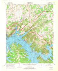
1967 Map of Eddyville
USGS Topo · Published 1968About this map
Lake Barkley and the Cumberland River dominate this landscape during a period of significant regional transformation. The map documents the established communities of Eddyville and Kuttawa, along with the prominent State Penitentiary situated along the water's edge. This era reflects the development of modern infrastructure, including the Western Kentucky Parkway and the Illinois Central Railroad, which cut across the northern terrain. Below the reservoir, the protected territory of Land Between the Lakes shows a network of family-named landmarks and historical sites, such as the Dixon Cemetery and Bonner Cemetery. Local religious life is well-preserved through labels for Glenn Chapel, Mt Pleasant Church, and Beth Grove Church, while educational needs were served by the Lyon County High School. The abundance of named springs, like Providence Spring and Crumbaugh Spring, points to the area's karst topography and early reliance on natural water sources.
Find a feature on this map
78 named features on this map. Tap any name to fly to it.
Don’t see what you’re looking for? This feature index may not catch every label — zoom into the map to look around manually.
Map Details
Editions of this 1967 Eddyville Map
2 editions found
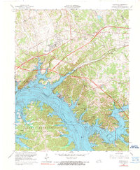
Other maps of this area

1908 · Princeton
USGS Topo · 1:62,500

1910 · Princeton
USGS Topo · 1:62,500

1928 · Eddyville
USGS Topo · 1:48,000

1931 · Eddyville
USGS Topo · 1:62,500

1936 · Eddyville
USGS Topo · 1:48,000

1936 · Mont
USGS Topo · 1:24,000

1936 · Grand Rivers
USGS Topo · 1:24,000

1936 · Birmingham
USGS Topo · 1:24,000

1936 · Golden Pond
USGS Topo · 1:48,000
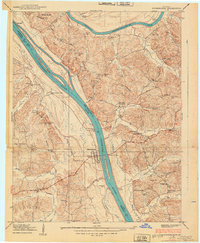
1938 · Birmingham
USGS Topo · 1:24,000