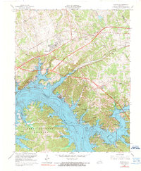
1967 Map of Eddyville
USGS Topo · Published 1973About this map
The State Penitentiary stands prominently on a peninsula above the massive waters of Lake Barkley in this mid-century survey. Following the damming of the Cumberland River, the landscape transformed into a complex network of bays and harbors, including Tinsley Creek Bay and Davenport Bay, which redefined the local economy around recreation and water management. To the south, the northern reaches of the Land Between The Lakes national recreation area are visible, accessible via routes near Carmack and Cross Road.
Find a feature on this map
67 named features on this map. Tap any name to fly to it.
Don’t see what you’re looking for? This feature index may not catch every label — zoom into the map to look around manually.
Map Details
Editions of this 1967 Eddyville Map
2 editions found
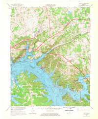
Other maps of this area

1908 · Princeton
USGS Topo · 1:62,500

1910 · Princeton
USGS Topo · 1:62,500

1928 · Eddyville
USGS Topo · 1:48,000

1931 · Eddyville
USGS Topo · 1:62,500

1936 · Eddyville
USGS Topo · 1:48,000

1936 · Mont
USGS Topo · 1:24,000

1936 · Grand Rivers
USGS Topo · 1:24,000

1936 · Birmingham
USGS Topo · 1:24,000

1936 · Golden Pond
USGS Topo · 1:48,000
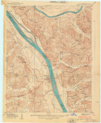
1938 · Birmingham
USGS Topo · 1:24,000