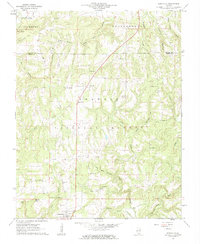
1961 Map of Eddyville
USGS Topo · Published 1962About this map
Eddyville serves as a southern anchor for this section of the Shawnee National Forest, where the complex drainage of Lusk Creek and Bay Creek shapes a landscape of hollows and bluffs. The map captures the rural social fabric of Pope and Saline counties in the early 1960s, evidenced by a dense network of country churches like Cedar Bluff Ch and New Home Ch. Small settlements such as Delwood and Oak are connected by winding roads through terrain marked by landmarks like Murray Bluff and Buzzard Roost Hollow. For genealogists, the map is particularly valuable for its record of family-named cemeteries, including Barger Cem, McNally Cem, and Reynolds Cem, alongside local landmarks like Double Branch Hole on Hayes Creek.
Find a feature on this map
47 named features on this map. Tap any name to fly to it.
Don’t see what you’re looking for? This feature index may not catch every label — zoom into the map to look around manually.
Map Details
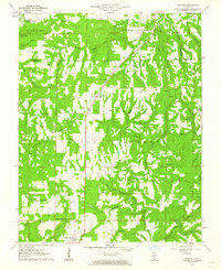
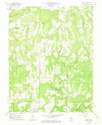
Editions of this 1961 Eddyville Map
3 editions found
Other maps of this area

1916 · Golconda
USGS Topo · 1:62,500

1916 · Equality
USGS Topo · 1:62,500

1917 · Brownfield
USGS Topo · 1:62,500

1920 · Goloonda
USGS Topo · 1:48,000

1921 · Golconda
USGS Topo · 1:62,500

1925 · Harrisburg
USGS Topo · 1:62,500

1939 · Harrisburg
USGS Topo · 1:62,500

1949 · Paducah
USGS Topo · 1:250,000

1950 · Paducah
USGS Topo · 1:250,000

1954 · Paducah
USGS Topo · 1:250,000