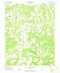
1961 Map of Eddyville
USGS Topo · Published 1973About this map
Eddyville serves as the focal point for this 1961 field-checked survey of the southern Illinois interior, where the Shawnee National Forest covers much of the rolling landscape. The map reveals a dispersed rural pattern of development, characterized by numerous small churches and community cemeteries that speak to the area's genealogical depth. Features like Cedar Bluff Ch and New Liberty Ch are joined by family-named burial grounds such as McNally Cem and Gossage Cem.
Find a feature on this map
40 named features on this map. Tap any name to fly to it.
Don’t see what you’re looking for? This feature index may not catch every label — zoom into the map to look around manually.
Map Details
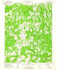
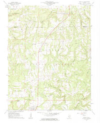
Editions of this 1961 Eddyville Map
3 editions found
Other maps of this area

1916 · Golconda
USGS Topo · 1:62,500

1916 · Equality
USGS Topo · 1:62,500

1917 · Brownfield
USGS Topo · 1:62,500

1920 · Goloonda
USGS Topo · 1:48,000

1921 · Golconda
USGS Topo · 1:62,500

1925 · Harrisburg
USGS Topo · 1:62,500

1939 · Harrisburg
USGS Topo · 1:62,500

1949 · Paducah
USGS Topo · 1:250,000

1950 · Paducah
USGS Topo · 1:250,000

1954 · Paducah
USGS Topo · 1:250,000