Loading...
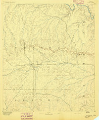
Loading map...1896 Map of Eden
USGS Topo · Published 1924About this map
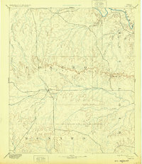
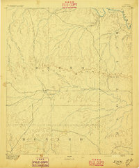
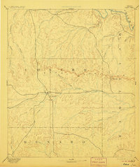
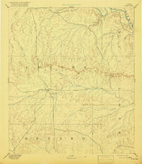
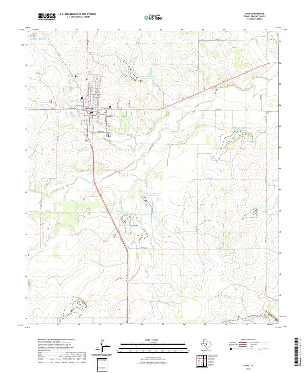
Eden stands as the central hub of this late 19th-century reconnaissance survey, positioned at the intersection of early West Texas trails where the drainage of Harden Branch meets Brady Creek. The landscape is dominated by the sprawling Concho Mountains, a rugged divide that separates the water systems flowing north toward the Colorado River from those moving south into the San Saba basin. The map illustrates a transitional ranching territory at the borders of Concho, McCulloch, and Menard counties.
Find a feature on this map
26 named features on this map. Tap any name to fly to it.
Don’t see what you’re looking for? This feature index may not catch every label — zoom into the map to look around manually.
Map Details
Date Portrayed1896
Date Published1924
PublisherU.S. Geological Survey
Map TypeTopographic
Scale1:125,000
Physical Dimensions17 x 19.7 inches
Editions of this 1896 Eden Map
4 editions found
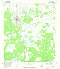
Historical Maps of Eden Through Time
8 maps found
Featured Locations
Source Details
SourceU.S. Geological Survey
CopyrightPublic Domain