
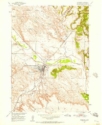
1950 Map of Edgemont
USGS Topo · Published 1952About this map
The Chicago Burlington and Quincy railroad dominates this mid-century landscape, converging at the town of Edgemont where the iron rails meet the path of the Cheyenne River. This industrial hub, documented just as the Missouri River Basin development programs were underway, reveals a dense network of local infrastructure including the Municipal Airport, the Waterworks, and a notable Abandoned Canal running parallel to the river.
Find a feature on this map
27 named features on this map. Tap any name to fly to it.
Don’t see what you’re looking for? This feature index may not catch every label — zoom into the map to look around manually.
Map Details
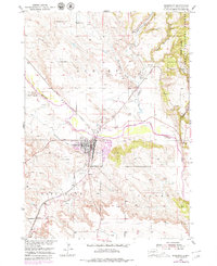
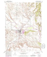
Editions of this 1950 Edgemont Map
4 editions found
Other maps of this area

1902 · Edgemont
USGS Topo · 1:125,000

1950 · Edgemont SW
USGS Topo · 1:24,000

1950 · Rumford
USGS Topo · 1:24,000

1950 · Burdock
USGS Topo · 1:24,000

1950 · Edgemont NE
USGS Topo · 1:24,000

1950 · Minnekahta
USGS Topo · 1:24,000

1950 · Flint Hill
USGS Topo · 1:24,000

1955 · Hot Springs
USGS Topo · 1:250,000
1982 · Provo
USGS Topo · 1:25,000
1982 · Phister Ranch
USGS Topo · 1:25,000