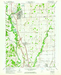
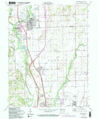
1961 Map of Edinburg
USGS Topo · Published 1964About this map
The confluence of the Blue River and Big Sugar Creek forms the Driftwood River just west of Edinburg, creating a landscape defined by moving water and shifting county lines. This early 1960s revision documents a period when the Pennsylvania railroad line still served as a primary corridor through Taylorsville, connecting the rural township schools and river-valley settlements. Significant federal footprints are visible on the periphery, with the Camp Atterbury Military Reservation bordering the west and the expansive runways of Bakalar Air Force Base occupying the southeast corner.
Find a feature on this map
50 named features on this map. Tap any name to fly to it.
Don’t see what you’re looking for? This feature index may not catch every label — zoom into the map to look around manually.
Map Details
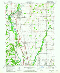
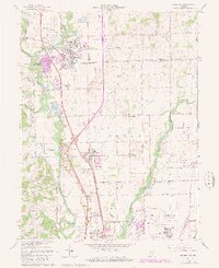
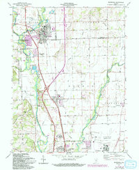
Editions of this 1961 Edinburg Map
5 editions found
Other maps of this area

1942 · Franklin
USGS Topo · 1:125,000

1942 · Columbus
USGS Topo · 1:125,000

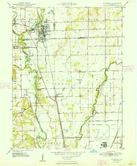
1947 · Franklin
USGS Topo · 1:62,500
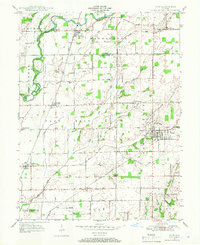
1947 · Hope
USGS Topo · 1:24,000
1948 · Franklin
USGS Topo · 1:24,000
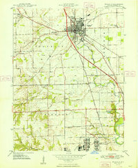
1948 · Edinburg
USGS Topo · 1:24,000
1948 · New Bellsville
USGS Topo · 1:24,000
1948 · Hope
USGS Topo · 1:24,000
1948 · Nineveh
USGS Topo · 1:24,000
1948 · Lewis Creek
USGS Topo · 1:24,000