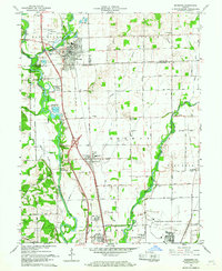
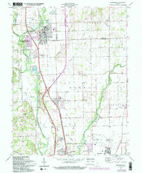
1961 Map of Edinburg
USGS Topo · Published 1968About this map
The confluence of the Blue River, Sugar Creek, and Driftwood River shapes the landscape of this southern Indiana region during the early 1960s. The town of Edinburg serves as a primary hub, sitting just north of the Pennsylvania railroad line that bisects the terrain. This era shows a significant military presence, with the eastern edge of the Camp Atterbury Military Reservation bordering the rivers and the Bakalar Air Force Base occupying the southern reaches near Lowell.
Find a feature on this map
67 named features on this map. Tap any name to fly to it.
Don’t see what you’re looking for? This feature index may not catch every label — zoom into the map to look around manually.
Map Details
Editions of this 1961 Edinburg Map
5 editions found
Other maps of this area

1942 · Franklin
USGS Topo · 1:125,000

1942 · Columbus
USGS Topo · 1:125,000

1947 · Franklin
USGS Topo · 1:62,500

1947 · Hope
USGS Topo · 1:24,000

1948 · Franklin
USGS Topo · 1:24,000

1948 · Edinburg
USGS Topo · 1:24,000

1948 · New Bellsville
USGS Topo · 1:24,000

1948 · Hope
USGS Topo · 1:24,000

1948 · Nineveh
USGS Topo · 1:24,000

1948 · Lewis Creek
USGS Topo · 1:24,000