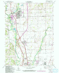
1961 Map of Edinburgh
USGS Topo · Published 1993About this map
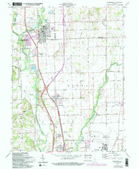
The Blue River and Flatrock River converge near the town of Edinburgh, a central hub in this survey where Johnson, Shelby, and Bartholomew counties meet. This landscape is defined by the heavy presence of mid-century infrastructure and military activity, notably the Atterbury Reserve Forces Training Area and Atterbury State Fish and Wildlife Area occupying the western portion. Transportation networks including Conrail and U.S. 31 parallel the river valleys, connecting smaller communities like Taylorsville and Lowell.
Find a feature on this map
53 named features on this map. Tap any name to fly to it.
Don’t see what you’re looking for? This feature index may not catch every label — zoom into the map to look around manually.
Map Details
Editions of this 1961 Edinburgh Map
5 editions found
Other maps of this area

1942 · Franklin
USGS Topo · 1:125,000

1942 · Columbus
USGS Topo · 1:125,000

1947 · Franklin
USGS Topo · 1:62,500

1947 · Hope
USGS Topo · 1:24,000

1948 · Franklin
USGS Topo · 1:24,000

1948 · Edinburg
USGS Topo · 1:24,000

1948 · New Bellsville
USGS Topo · 1:24,000

1948 · Hope
USGS Topo · 1:24,000

1948 · Nineveh
USGS Topo · 1:24,000

1948 · Lewis Creek
USGS Topo · 1:24,000