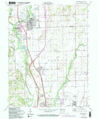
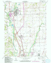
1961 Map of Edinburgh
USGS Topo · Published 1993About this map
The confluence of the Blue River and Sugar Creek forms the Driftwood River just south of Edinburgh, creating a hydrologic junction that shaped local settlement and transportation. In this mid-century view, updated with 1978 photogrammetric data, the landscape is defined by the Conrail line and the evolving Interstate highway system, which cuts through German and Jackson townships. Cultural landmarks such as the Tannehill Covered Bridge and the Tannehill Cem near the riverbanks provide specific points of interest for genealogists tracing families in the Bartholomew and Johnson county borderlands.
Find a feature on this map
46 named features on this map. Tap any name to fly to it.
Don’t see what you’re looking for? This feature index may not catch every label — zoom into the map to look around manually.
Map Details
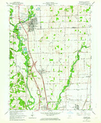
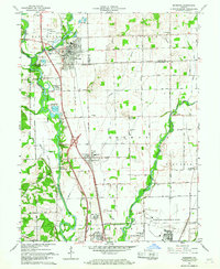
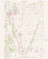
Editions of this 1961 Edinburgh Map
5 editions found
Other maps of this area

1942 · Franklin
USGS Topo · 1:125,000

1942 · Columbus
USGS Topo · 1:125,000

1947 · Franklin
USGS Topo · 1:62,500

1947 · Hope
USGS Topo · 1:24,000

1948 · Franklin
USGS Topo · 1:24,000

1948 · Edinburg
USGS Topo · 1:24,000

1948 · New Bellsville
USGS Topo · 1:24,000

1948 · Hope
USGS Topo · 1:24,000

1948 · Nineveh
USGS Topo · 1:24,000

1948 · Lewis Creek
USGS Topo · 1:24,000