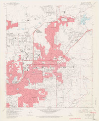
1967 Map of El Cajon
USGS Topo · Published 1969About this map
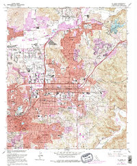
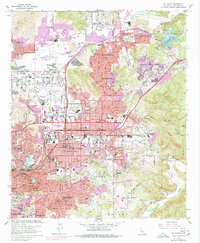
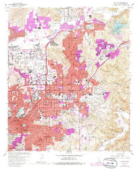
The San Diego River and the Sweetwater River define the northern and southern bounds of this late-sixties suburban landscape. The valley floor is dominated by the dense street grids of El Cajon, Santee, and La Mesa, while surrounding slopes like Granite Hills and Hidden Mesa show more sparse residential development. In the center of the valley, Gillespie Field and the adjacent Cajon Speedway represent the era's regional infrastructure and recreational hubs.
Find a feature on this map
91 named features on this map. Tap any name to fly to it.
Don’t see what you’re looking for? This feature index may not catch every label — zoom into the map to look around manually.
Map Details
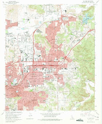
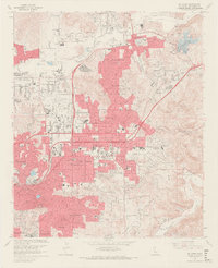
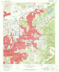
Editions of this 1967 El Cajon Map
7 editions found
Other maps of this area

1893 · El Cajon
USGS Topo · 1:62,500

1901 · Elcajon
USGS Topo · 1:62,500

1903 · Cuyamaca
USGS Topo · 1:125,000

1903 · La Jolla
USGS Topo · 1:62,500

1903 · Elcajon
USGS Topo · 1:62,500

1904 · San Diego
USGS Topo · 1:62,500

1904 · Southern California Sheet No. 2
USGS Topo · 1:250,000

1930 · La Jolla
USGS Topo · 1:62,500

1930 · San Diego
USGS Topo · 1:62,500

1939 · El Cajon
USGS Topo · 1:62,500