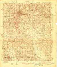
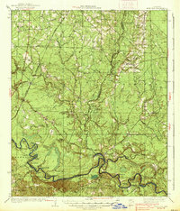
1927 Map of El Dorado
USGS Topo · Published 1927About this map
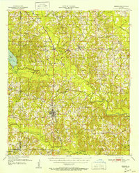
El Dorado serves as the central hub of this 1927 survey, surrounded by a dense network of rural infrastructure including numerous churches and schools. The map details the transition from the city streets into a landscape defined by small settlements like Lamberton and Catesville, and the southward flow of Bayou de Loutre and Cornie Creek. Family and community history is deeply etched into the topography through features such as Parnell Cemetery, Old Parker Chapel Cemetery, and schools including Wyatt Sch and Jones High Sch.
Find a feature on this map
64 named features on this map. Tap any name to fly to it.
Don’t see what you’re looking for? This feature index may not catch every label — zoom into the map to look around manually.
Map Details
Editions of this 1927 El Dorado Map
2 editions found
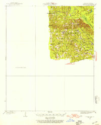
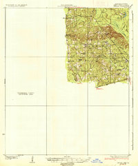
Other maps of this area

1927 · El Dorado
USGS Topo · 1:62,500

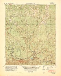
1930 · El Dorado
USGS Topo · 1:62,500
1933 · Strong
USGS Topo · 1:62,500
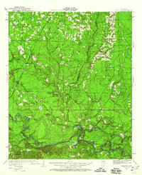
1934 · Moro Bay
USGS Topo · 1:62,500
1937 · Strong
USGS Topo · 1:62,500
1938 · Moro Bay
USGS Topo · 1:62,500
1939 · Moro Bay
USGS Topo · 1:62,500
1939 · Strong
USGS Topo · 1:62,500
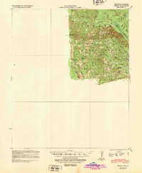
1951 · Summerfield
USGS Topo · 1:62,500
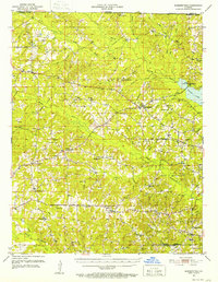
1951 · Bernice
USGS Topo · 1:62,500