
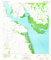
1957 Map of El Jobean
USGS Topo · Published 1958About this map
El Jobean serves as the focal point of this coastal survey, where the Seaboard Air Line railroad crosses the wide confluence of the Myakka River and Tippecanoe Bay. The landscape is dominated by the intricate waterways of the Florida Gulf Coast, featuring the expansive marshlands of Hog Island and the strategic maritime position of Cattle Dock Point. To the south, the waters broaden into Charlotte Harbor, fed by the Peace River and the Myakka Cutoff. The map documents a period of early development near Charlotte Beach before the extensive canal-front residential growth that would later transform the region. Inland, numerous small water bodies like Triple Lakes and the winding South Knight Creek dot the flat, low-lying terrain, highlighting the area's natural drainage patterns and traditional landmarks such as Ghost Point and Locust Point.
Find a feature on this map
23 named features on this map. Tap any name to fly to it.
Don’t see what you’re looking for? This feature index may not catch every label — zoom into the map to look around manually.
Map Details
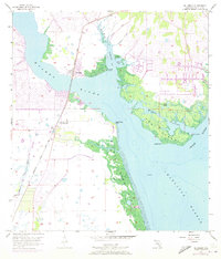
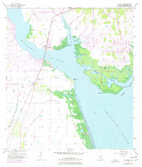
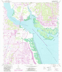
Editions of this 1957 El Jobean Map
5 editions found
Other maps of this area

1944 · Myakka River
USGS Topo · 1:31,680

1956 · Murdock
USGS Topo · 1:24,000

1956 · Murdock SE
USGS Topo · 1:24,000

1956 · Punta Gorda SE
USGS Topo · 1:24,000

1956 · Englewood
USGS Topo · 1:24,000

1956 · Tampa
USGS Topo · 1:250,000

1956 · Charlotte Harbor
USGS Topo · 1:250,000

1957 · Punta Gorda SW
USGS Topo · 1:24,000

1957 · Punta Gorda
USGS Topo · 1:24,000

1957 · Placida
USGS Topo · 1:24,000