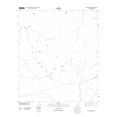
2012 Map of El Muerto Peak
USGS Topo · Published 2012About this map
El Muerto Peak dominates this high-altitude landscape in the Davis Mountains, overlooking a network of water-scarce terrain where windmills define the human presence. Ranching operations are centered around the Moore Ranch, connected by localized routes such as Moore Ranch Rd and John Moore Rd. The map illustrates a reliance on groundwater for livestock, evidenced by the distribution of family or site-specific names like the Geronimo Windmills, Cracker Jack Windmill, and Old House Windmill. The topography is carved by seasonal drainage features, including Red Slough and Moore Slough, which run between prominent heights like Baldy Mtn and Sheep Camp Mtn. This document captures the modern state of these remote Trans-Pecos ranchlands, marking both natural landmarks like El Muerto Spring and the critical infrastructure required to sustain life in the high desert.
Find a feature on this map
25 named features on this map. Tap any name to fly to it.
Don’t see what you’re looking for? This feature index may not catch every label — zoom into the map to look around manually.
Map Details
Editions of this 2012 El Muerto Peak Map
This is the sole edition of this map. No revisions or reprints were ever made.
Other maps of this area
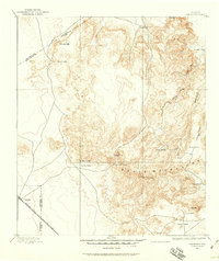
1894 · Valentine
USGS Topo · 1:125,000
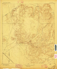
1897 · Valentine
USGS Topo · 1:125,000
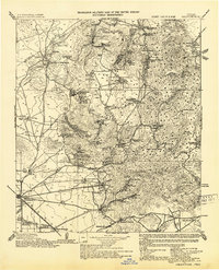
1943 · Valentine
USGS Topo · 1:125,000
1959 · Marfa
USGS Topo · 1:250,000
1965 · Marfa
USGS Topo · 1:250,000
1978 · Bare Mountain
USGS Topo · 1:24,000
1978 · Valentine East
USGS Topo · 1:24,000
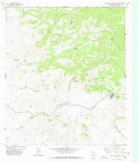
1978 · Paradise Mountain
USGS Topo · 1:24,000
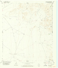
1978 · Boggy Draw
USGS Topo · 1:24,000
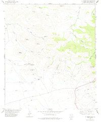
1978 · El Muerto Peak
USGS Topo · 1:24,000