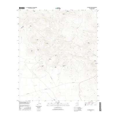
2016 Map of El Muerto Peak
USGS Topo · Published 2016About this map
El Muerto Peak and Sheep Camp Mtn dominate this high-elevation corner of Jeff Davis County, where the landscape is defined by complex volcanic peaks and a network of ephemeral drainages. The topography is marked by significant landmarks such as Baldy Mtn and Lonely Lee, illustrating the isolated character of the Trans-Pecos region. Water sources, though scarce, are clearly identified at El Muerto Spring and Rincon Tank, providing critical points of interest in an otherwise arid terrain.
Find a feature on this map
29 named features on this map. Tap any name to fly to it.
Don’t see what you’re looking for? This feature index may not catch every label — zoom into the map to look around manually.
Map Details
Editions of this 2016 El Muerto Peak Map
This is the sole edition of this map. No revisions or reprints were ever made.
Other maps of this area
1894 · Valentine
USGS Topo · 1:125,000
1897 · Valentine
USGS Topo · 1:125,000
1943 · Valentine
USGS Topo · 1:125,000
1959 · Marfa
USGS Topo · 1:250,000
1965 · Marfa
USGS Topo · 1:250,000
1978 · Bare Mountain
USGS Topo · 1:24,000
1978 · Valentine East
USGS Topo · 1:24,000
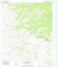
1978 · Paradise Mountain
USGS Topo · 1:24,000
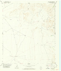
1978 · Boggy Draw
USGS Topo · 1:24,000
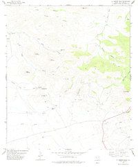
1978 · El Muerto Peak
USGS Topo · 1:24,000