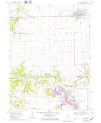
1970 Map of El Paso
USGS Topo · Published 1979About this map
The railroad junction at El Paso serves as the focal point of this 1970s central Illinois landscape, where the Toledo Peoria and Western crosses the Illinois Central tracks. To the south, the village of Kappa sits near the meandering Mackinaw River, which is flanked by several active Gravel Pits. The map documents a significant change in the local hydrology with the appearance of Evergreen Lake, its purple-tinted contours indicating a 1977 revision showing a recently created reservoir and its associated Campground. Rural life is anchored by local landmarks like Centennial Chapel and the East White Oak Ch, alongside family and community resting places such as Secor Cem. The transition from the flat agricultural plains of Palestine township to the carved river bluffs along Sixmile Cr illustrates the varied Woodford and McLean County terrain.
Find a feature on this map
25 named features on this map. Tap any name to fly to it.
Don’t see what you’re looking for? This feature index may not catch every label — zoom into the map to look around manually.
Map Details
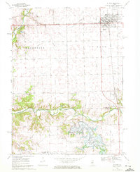
Editions of this 1970 El Paso Map
2 editions found
Other maps of this area

1926 · Normal
USGS Topo · 1:62,500

1927 · Danvers
USGS Topo · 1:62,500

1930 · Danvers
USGS Topo · 1:62,500

1930 · Normal
USGS Topo · 1:62,500

1955 · Minonk
USGS Topo · 1:62,500

1958 · Flanagan
USGS Topo · 1:62,500

1958 · Peoria
USGS Topo · 1:250,000

1961 · Peoria
USGS Topo · 1:250,000

1963 · Peoria
USGS Topo · 1:250,000
1970 · Secor
USGS Topo · 1:24,000