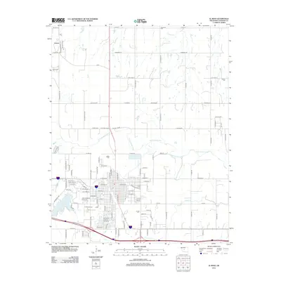
2012 Map of El Reno
USGS Topo · Published 2012About this map
The North Canadian River winds through the central landscape of Canadian County, shaping the geography north of the city center. This 2012 survey reveals the organized expansion of El Reno, where the intersection of a rigorous section-line road grid meets the natural curves of Fourmile Cr and Sixmile Cr. To the northwest, the settlement of Concho remains a distinct community, supported by the historic Concho Cem. Within the city limits, educational and infrastructure hubs such as Redlands Community Coll and the El Reno Airport anchor the local economy. The map also identifies several burial sites essential for genealogical research, including Sunnyside Cem, Oakland Cem, and the large El Reno Cem south of the main industrial corridor. Reservoirs like the Four Mile Cr Site 1 Reservoir highlight the region's water management practices near the urban edge.
Find a feature on this map
100 named features on this map. Tap any name to fly to it.
Don’t see what you’re looking for? This feature index may not catch every label — zoom into the map to look around manually.
Map Details
Editions of this 2012 El Reno Map
This is the sole edition of this map. No revisions or reprints were ever made.
Other maps of this area

1892 · Kingfisher
USGS Topo · 1:125,000

1893 · Fort Reno
USGS Topo · 1:62,500

1893 · Buggy Creek
USGS Topo · 1:62,500

1893 · Minco
USGS Topo · 1:62,500

1895 · Kingfisher
USGS Topo · 1:125,000

1904 · Chickasha
USGS Topo · 1:125,000

1941 · Fort Reno
USGS Topo · 1:62,500

1942 · Fort Reno
USGS Topo · 1:62,500

1949 · Fort Reno
USGS Topo · 1:62,500

1954 · Oklahoma City
USGS Topo · 1:250,000