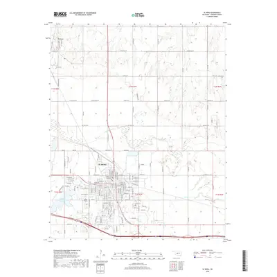
2018 Map of El Reno
USGS Topo · Published 2018About this map
El Reno serves as the central hub of this Canadian County landscape, where the urban grid meets the meandering path of the N Canadian River. The river corridor, flanked by Fourmile Cr and Sixmile Cr, reveals a complex natural drainage system that has historically shaped local land use and development. To the north, the settlement of Concho stands out with its distinct street names like Black Kettle Blvd and Left Hand Ave, reflecting the specific cultural heritage of the area.
Find a feature on this map
137 named features on this map. Tap any name to fly to it.
Don’t see what you’re looking for? This feature index may not catch every label — zoom into the map to look around manually.
Map Details
Editions of this 2018 El Reno Map
This is the sole edition of this map. No revisions or reprints were ever made.
Other maps of this area

1892 · Kingfisher
USGS Topo · 1:125,000

1893 · Fort Reno
USGS Topo · 1:62,500

1893 · Buggy Creek
USGS Topo · 1:62,500

1893 · Minco
USGS Topo · 1:62,500

1895 · Kingfisher
USGS Topo · 1:125,000

1904 · Chickasha
USGS Topo · 1:125,000

1941 · Fort Reno
USGS Topo · 1:62,500

1942 · Fort Reno
USGS Topo · 1:62,500

1949 · Fort Reno
USGS Topo · 1:62,500

1954 · Oklahoma City
USGS Topo · 1:250,000