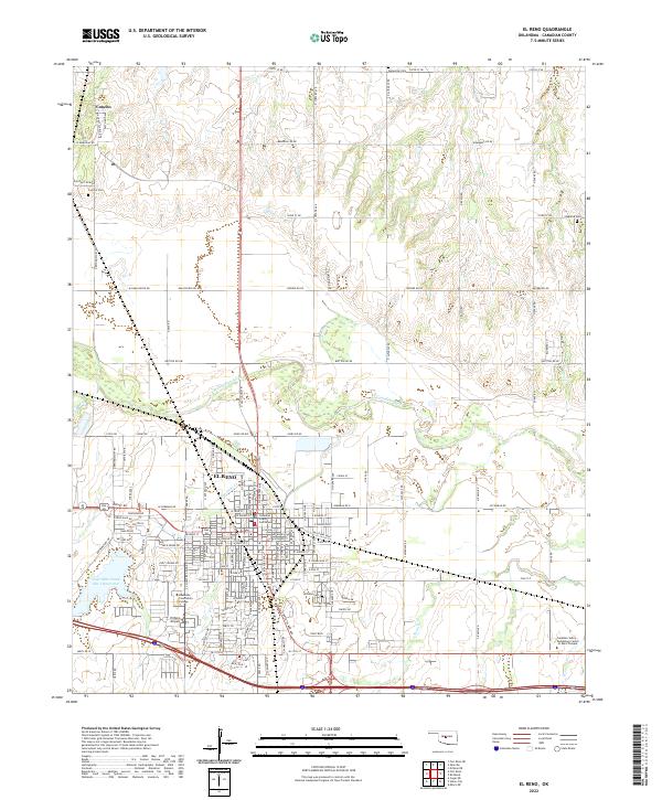
2022 Map of El Reno
USGS Topo · Published 2022About this map
The Canadian County Courthouse stands at the center of El Reno, anchoring a grid that reflects both its heritage as a rail town and its modern role as a regional hub. The S Rock Island Ave alignment serves as a reminder of the railroad legacy that shaped this part of Oklahoma. North of the city, the N Canadian River meanders through the landscape, flanked by agricultural fields and the settlement of Concho.
Find a feature on this map
72 named features on this map. Tap any name to fly to it.
Don’t see what you’re looking for? This feature index may not catch every label — zoom into the map to look around manually.
Map Details
Editions of this 2022 El Reno Map
This is the sole edition of this map. No revisions or reprints were ever made.
Other maps of this area

1892 · Kingfisher
USGS Topo · 1:125,000

1893 · Fort Reno
USGS Topo · 1:62,500

1893 · Buggy Creek
USGS Topo · 1:62,500

1893 · Minco
USGS Topo · 1:62,500

1895 · Kingfisher
USGS Topo · 1:125,000

1904 · Chickasha
USGS Topo · 1:125,000

1941 · Fort Reno
USGS Topo · 1:62,500

1942 · Fort Reno
USGS Topo · 1:62,500

1949 · Fort Reno
USGS Topo · 1:62,500

1954 · Oklahoma City
USGS Topo · 1:250,000